Smart Solutions for Underground Mapping (SUE)
Discover how our mapping solutions enhance efficiency and safety for underground infrastructure (SUE)
Precision and Reliability in Subsurface Mapping
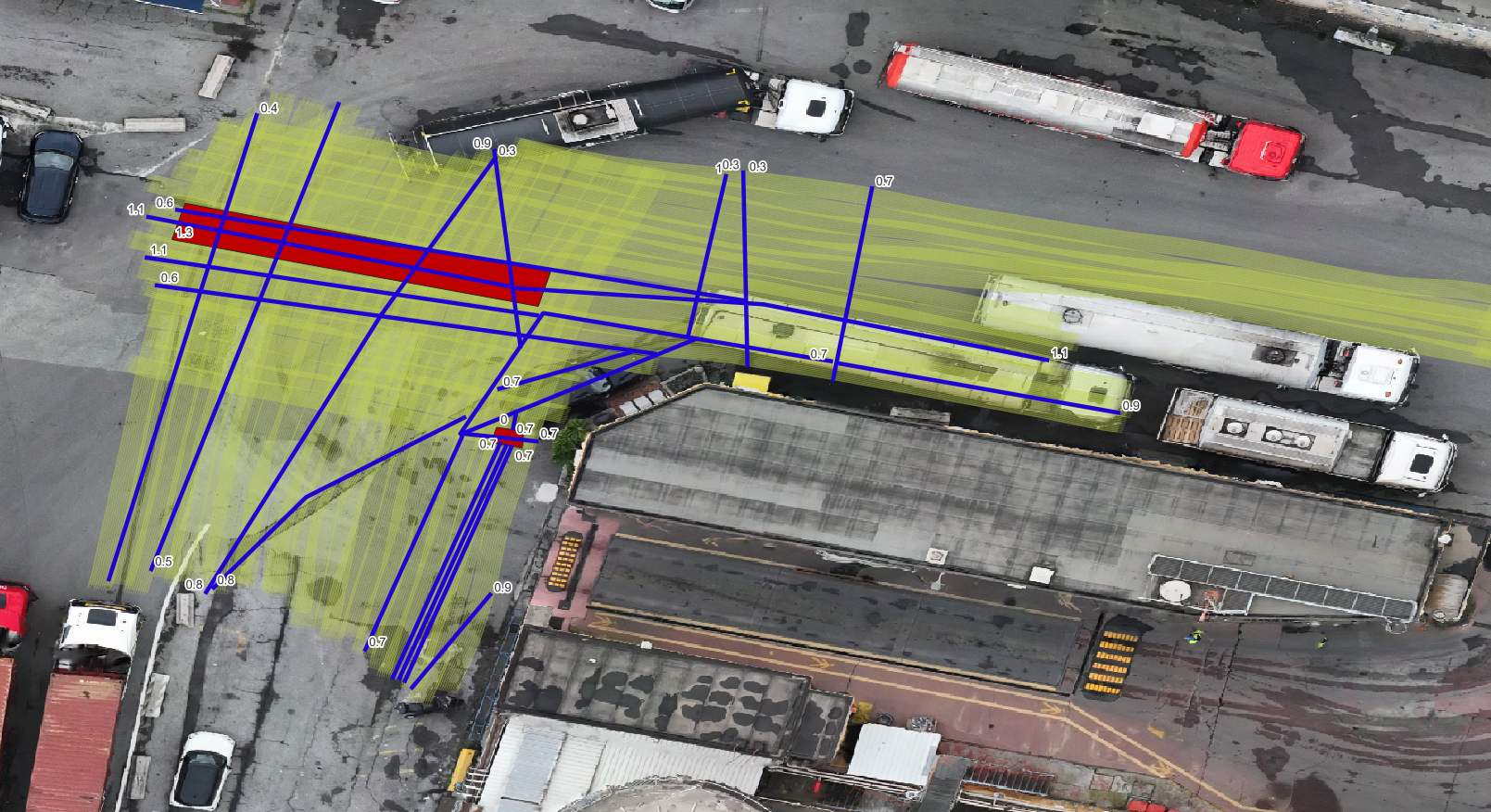
The knowledge and mapping of underground infrastructure are often limited in both type and accuracy. This creates challenges in laying new structures or modifying existing ones, hindering the expansion of networks essential for advancing services and smart cities.
With Xplora’s tools, customers will have access to a digital, scientific, advanced, and interactive tool capable of providing an objective mapping of the subsurface structures.
Case studies
COMPETITIVE ADVANTAGE
What makes us different
Perform field surveys (or request our field team)
Upload raw instrument data to the software via the encrypted cloud platform
Receive the desired outputs within 24 hours (for standard surveys)
Outputs
Shape file - Project GIS
File CAD - .DWGs
SUCCESS STORIES
How to work with Xplora
Complete Service
We handle the entire workflow: survey design, field data collection, data analysis, deliverable handover, and
post-delivery technical support.
Discover more
Software as a Service
Conduct the field survey, upload the raw data to Xplora’s server, and receive the processed output within 24 hours.
Discover more